Coastal Path
Introduction
The photograph on this page of Coastal Path by Anne Burgess as part of the Geograph project.
The Geograph project started in 2005 with the aim of publishing, organising and preserving representative images for every square kilometre of Great Britain, Ireland and the Isle of Man.

There are currently over 7.5m images from over 14,400 individuals and you can help contribute to the project by visiting https://www.geograph.org.uk
Coastal Path
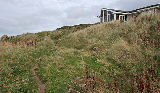
Image: © Anne Burgess Taken: 7 Oct 2011
This is the section of the coastal path alongside the Hythe at Lossiemouth. You can just about see a waymarker on the skyline at left. The house on the right must have a great view.
Images are licensed for reuse under creativecommons.org/licenses/by-sa/2.0
Image Location
Latitude
57.722681
Longitude
-3.294537