Slamannan Railway
Introduction
The photograph on this page of Slamannan Railway by Richard Webb as part of the Geograph project.
The Geograph project started in 2005 with the aim of publishing, organising and preserving representative images for every square kilometre of Great Britain, Ireland and the Isle of Man.

There are currently over 7.5m images from over 14,400 individuals and you can help contribute to the project by visiting https://www.geograph.org.uk
Slamannan Railway
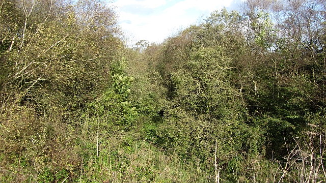
Image: © Richard Webb Taken: 7 Oct 2011
A wooded cutting which once carried a railway between Bo'ness and Airdrie. This would have been an important route off the plateau for the coal mined in the many collieries that were once here. Passenger services ceased in 1930.
Images are licensed for reuse under creativecommons.org/licenses/by-sa/2.0
Image Location
Latitude
55.948566
Longitude
-3.692234