Cox's Walk
Introduction
The photograph on this page of Cox's Walk by Marathon as part of the Geograph project.
The Geograph project started in 2005 with the aim of publishing, organising and preserving representative images for every square kilometre of Great Britain, Ireland and the Isle of Man.

There are currently over 7.5m images from over 14,400 individuals and you can help contribute to the project by visiting https://www.geograph.org.uk
Cox's Walk
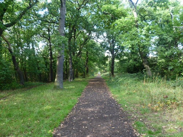
Image: © Marathon Taken: 21 Sep 2011
This oak-lined formal avenue is known as Cox's Walk and leads from the junction of Dulwich Common and Lordship Lane into Sydenham Hill Woods. It was cut soon after 1732 by Francis Cox to connect his establishment of the Green Man Tavern and Dulwich Wells with the more popular Sydenham Wells. In 1739, Francis Cox sank a well for his own family. The water was found to be possessed of purgative qualities, and was for some time used medicinally. Whilst the water was popular much custom was drawn to the adjoining tavern, and its proprietor flourished. The Green Chain Walk now follows Cox's Walk between Sydenham Hill Woods and Dulwich Park.
Images are licensed for reuse under creativecommons.org/licenses/by-sa/2.0
Image Location
Latitude
51.441404
Longitude
-0.067456