Hillfield holiday estate
Introduction
The photograph on this page of Hillfield holiday estate by Robin Stott as part of the Geograph project.
The Geograph project started in 2005 with the aim of publishing, organising and preserving representative images for every square kilometre of Great Britain, Ireland and the Isle of Man.

There are currently over 7.5m images from over 14,400 individuals and you can help contribute to the project by visiting https://www.geograph.org.uk
Hillfield holiday estate
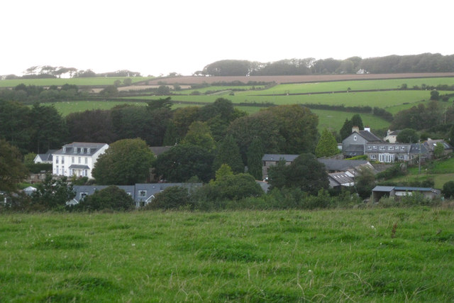
Image: © Robin Stott Taken: 16 Sep 2011
A holiday village has been created around existing houses and farm buildings. A wider view from the same spot is Image On the skyline is the shelterbelt to the west of Wadstray House in SX8251.
Images are licensed for reuse under creativecommons.org/licenses/by-sa/2.0
Image Location


Leaflet Map data © OpenStreetMap
Latitude
50.346314
Longitude
-3.642645