Cotgrave Green
Introduction
The photograph on this page of Cotgrave Green by Alan Murray-Rust as part of the Geograph project.
The Geograph project started in 2005 with the aim of publishing, organising and preserving representative images for every square kilometre of Great Britain, Ireland and the Isle of Man.

There are currently over 7.5m images from over 14,400 individuals and you can help contribute to the project by visiting https://www.geograph.org.uk
Cotgrave Green
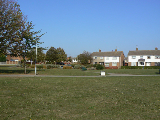
Image: © Alan Murray-Rust Taken: 3 Oct 2011
Not the original village green, but an area of open space adjacent to the new shopping centre created as part of the development of Cotgrave as a colliery village in the 1950s/60s.
Images are licensed for reuse under creativecommons.org/licenses/by-sa/2.0
Image Location
Latitude
52.910042
Longitude
-1.03551