Loughbrickland lake (1)
Introduction
The photograph on this page of Loughbrickland lake (1) by Albert Bridge as part of the Geograph project.
The Geograph project started in 2005 with the aim of publishing, organising and preserving representative images for every square kilometre of Great Britain, Ireland and the Isle of Man.

There are currently over 7.5m images from over 14,400 individuals and you can help contribute to the project by visiting https://www.geograph.org.uk
Loughbrickland lake (1)
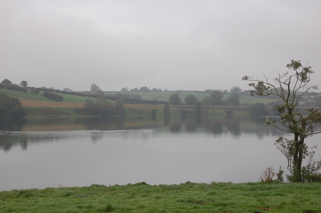
Image: © Albert Bridge Taken: 20 Oct 2006
Loughbrickland lake is one of the main features visible from the Belfast-Newry/Dublin road. It includes a crannog and is covered by three squares. This is the section of the lake in J1140 seen on a misty autumn day. The Belfast-Dublin road is just about visible in the middle right of the photo.
Images are licensed for reuse under creativecommons.org/licenses/by-sa/2.0
Image Location


Leaflet Map data © OpenStreetMap
Latitude
54.301122
Longitude
-6.288018