Warmingham: Crabmill Flash
Introduction
The photograph on this page of Warmingham: Crabmill Flash by Mike Harris as part of the Geograph project.
The Geograph project started in 2005 with the aim of publishing, organising and preserving representative images for every square kilometre of Great Britain, Ireland and the Isle of Man.

There are currently over 7.5m images from over 14,400 individuals and you can help contribute to the project by visiting https://www.geograph.org.uk
Warmingham: Crabmill Flash
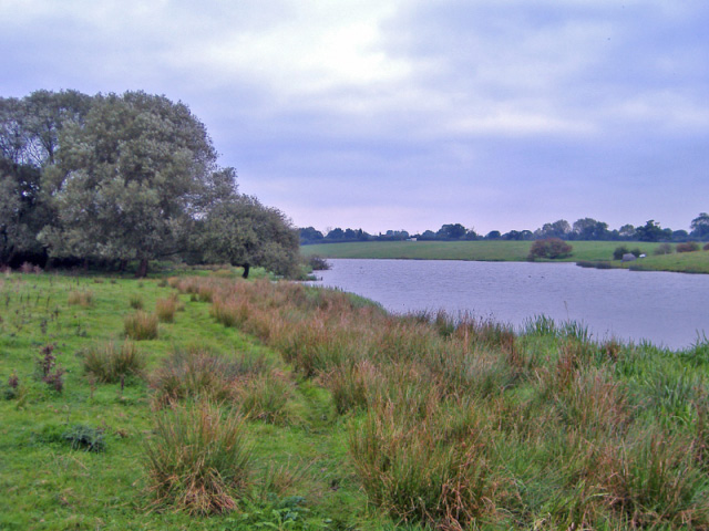
Image: © Mike Harris Taken: 27 Sep 2006
Warmingham: Crabmill Flash, the result of subsidence due to dissolution of the underlying rock salt strata.
Images are licensed for reuse under creativecommons.org/licenses/by-sa/2.0
Image Location
Latitude
53.138822
Longitude
-2.425092