Crumlin Road south of Llanhilleth
Introduction
The photograph on this page of Crumlin Road south of Llanhilleth by Jaggery as part of the Geograph project.
The Geograph project started in 2005 with the aim of publishing, organising and preserving representative images for every square kilometre of Great Britain, Ireland and the Isle of Man.

There are currently over 7.5m images from over 14,400 individuals and you can help contribute to the project by visiting https://www.geograph.org.uk
Crumlin Road south of Llanhilleth
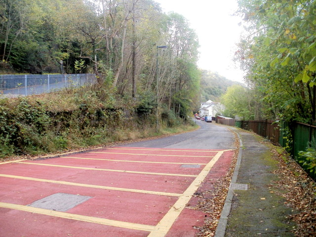
Image: © Jaggery Taken: 6 Oct 2011
Despite its name, this is no longer http://www.geograph.org.uk/photo/2635541 a through road to Crumlin for motor vehicles. The grey railings on the left are at the edge of the B4471 at the start of its long ascent to Sofrydd.
Images are licensed for reuse under creativecommons.org/licenses/by-sa/2.0
Image Location
Latitude
51.691526
Longitude
-3.128385