South Road near Prudhoe House
Introduction
The photograph on this page of South Road near Prudhoe House by Andrew Curtis as part of the Geograph project.
The Geograph project started in 2005 with the aim of publishing, organising and preserving representative images for every square kilometre of Great Britain, Ireland and the Isle of Man.

There are currently over 7.5m images from over 14,400 individuals and you can help contribute to the project by visiting https://www.geograph.org.uk
South Road near Prudhoe House
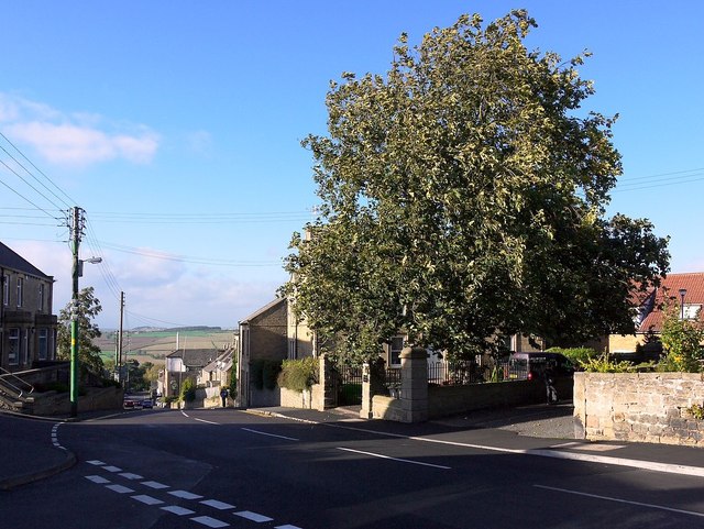
Image: © Andrew Curtis Taken: 12 Sep 2011
Prudhoe House (hidden by the horse-chestnut tree) dates from around 1700 although it has been extensively altered later. The tree marks the spot where John Wesley preached in 1757.
Images are licensed for reuse under creativecommons.org/licenses/by-sa/2.0
Image Location
Latitude
54.959836
Longitude
-1.852392