Blanche's Gorse
Introduction
The photograph on this page of Blanche's Gorse by Alan Murray-Rust as part of the Geograph project.
The Geograph project started in 2005 with the aim of publishing, organising and preserving representative images for every square kilometre of Great Britain, Ireland and the Isle of Man.

There are currently over 7.5m images from over 14,400 individuals and you can help contribute to the project by visiting https://www.geograph.org.uk
Blanche's Gorse
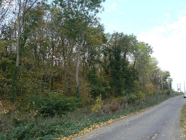
Image: © Alan Murray-Rust Taken: 3 Oct 2011
Woodland plantation adjacent to Home Farm. The use of the word 'Gorse' to represent a covert seems to be fairly common locally.
Images are licensed for reuse under creativecommons.org/licenses/by-sa/2.0
Image Location
Latitude
52.901151
Longitude
-0.972225