High Salvington Post Mill
Introduction
The photograph on this page of High Salvington Post Mill by Dave Spicer as part of the Geograph project.
The Geograph project started in 2005 with the aim of publishing, organising and preserving representative images for every square kilometre of Great Britain, Ireland and the Isle of Man.

There are currently over 7.5m images from over 14,400 individuals and you can help contribute to the project by visiting https://www.geograph.org.uk
High Salvington Post Mill
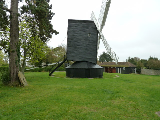
Image: © Dave Spicer Taken: 5 Oct 2011
Fully restored during the late eighties, during which time it survived the hurricane of 1987, its first regrinding was April 1991. The mills web site is www.highsalvingtonwindmill.co.uk
Images are licensed for reuse under creativecommons.org/licenses/by-sa/2.0
Image Location
Latitude
50.848578
Longitude
-0.406721