Disused Canal near Elsecar
Introduction
The photograph on this page of Disused Canal near Elsecar by Jonathan Clitheroe as part of the Geograph project.
The Geograph project started in 2005 with the aim of publishing, organising and preserving representative images for every square kilometre of Great Britain, Ireland and the Isle of Man.

There are currently over 7.5m images from over 14,400 individuals and you can help contribute to the project by visiting https://www.geograph.org.uk
Disused Canal near Elsecar
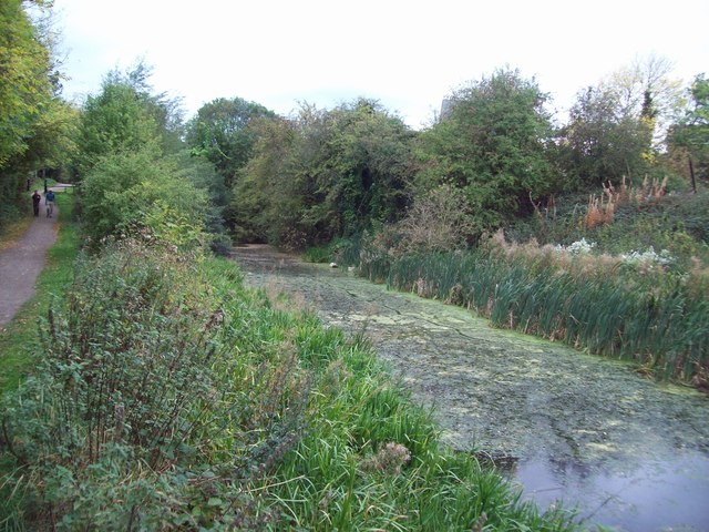
Image: © Jonathan Clitheroe Taken: 5 Oct 2011
Elsecar branch of the Dearne and Dove Canal which are both now disused. This picture was taken from the Barnsley Boundary Walk close to Wath Road.
Images are licensed for reuse under creativecommons.org/licenses/by-sa/2.0
Image Location
Latitude
53.499488
Longitude
-1.413393