Honeysuckle Lane High Salvington
Introduction
The photograph on this page of Honeysuckle Lane High Salvington by Dave Spicer as part of the Geograph project.
The Geograph project started in 2005 with the aim of publishing, organising and preserving representative images for every square kilometre of Great Britain, Ireland and the Isle of Man.

There are currently over 7.5m images from over 14,400 individuals and you can help contribute to the project by visiting https://www.geograph.org.uk
Honeysuckle Lane High Salvington
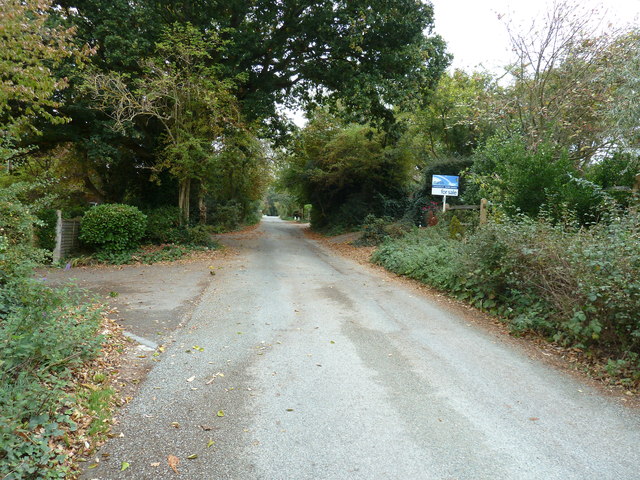
Image: © Dave Spicer Taken: 5 Oct 2011
Honeysuckle Lane terminates for vehicles at the Honeysuckle Lane car park but continues as a restricted byway to meet the A280 near Tolmare Farm.
Images are licensed for reuse under creativecommons.org/licenses/by-sa/2.0
Image Location
Latitude
50.849345
Longitude
-0.410246