Chapel conversion at Hillend, Ludstone
Introduction
The photograph on this page of Chapel conversion at Hillend, Ludstone by Richard Law as part of the Geograph project.
The Geograph project started in 2005 with the aim of publishing, organising and preserving representative images for every square kilometre of Great Britain, Ireland and the Isle of Man.

There are currently over 7.5m images from over 14,400 individuals and you can help contribute to the project by visiting https://www.geograph.org.uk
Chapel conversion at Hillend, Ludstone
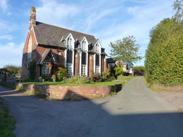
Image: © Richard Law Taken: 27 Sep 2011
Originally a small chapel, and shown on late 19th century maps as 'Congl Chapel' (Congregational). There was also a Sunday School on the other side of the road at that time. The building is now converted to residential use.
Images are licensed for reuse under creativecommons.org/licenses/by-sa/2.0
Image Location
Latitude
52.553314
Longitude
-2.282983