Cairn near Auchtertyre
Introduction
The photograph on this page of Cairn near Auchtertyre by Maigheach-gheal as part of the Geograph project.
The Geograph project started in 2005 with the aim of publishing, organising and preserving representative images for every square kilometre of Great Britain, Ireland and the Isle of Man.

There are currently over 7.5m images from over 14,400 individuals and you can help contribute to the project by visiting https://www.geograph.org.uk
Cairn near Auchtertyre
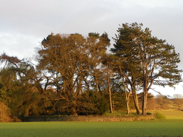
Image: © Maigheach-gheal Taken: 11 Apr 2011
A stone wall surrounds the tree clad cairn which is in the centre of a very large arable field.
Images are licensed for reuse under creativecommons.org/licenses/by-sa/2.0
Image Location
Latitude
56.55275
Longitude
-3.171677