Branch End Play Area
Introduction
The photograph on this page of Branch End Play Area by Andrew Curtis as part of the Geograph project.
The Geograph project started in 2005 with the aim of publishing, organising and preserving representative images for every square kilometre of Great Britain, Ireland and the Isle of Man.

There are currently over 7.5m images from over 14,400 individuals and you can help contribute to the project by visiting https://www.geograph.org.uk
Branch End Play Area
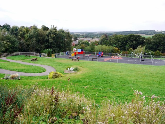
Image: © Andrew Curtis Taken: 12 Sep 2011
Branch End is part of the parish of Broomley and Stocksfield. The park's toddler area opened in 2006 and was further extended in 2008. The park now incorporates the Stocksfield Community Garden, planted in containers along the curved pathway on the left with plants representing the main senses.
Images are licensed for reuse under creativecommons.org/licenses/by-sa/2.0
Image Location
Latitude
54.945687
Longitude
-1.901151