Mapletree Lane by College Wood
Introduction
The photograph on this page of Mapletree Lane by College Wood by Trevor Harris as part of the Geograph project.
The Geograph project started in 2005 with the aim of publishing, organising and preserving representative images for every square kilometre of Great Britain, Ireland and the Isle of Man.

There are currently over 7.5m images from over 14,400 individuals and you can help contribute to the project by visiting https://www.geograph.org.uk
Mapletree Lane by College Wood
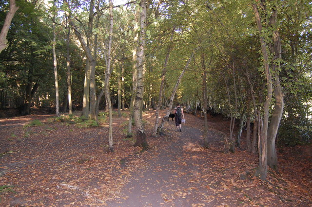
Image: © Trevor Harris Taken: 2 Oct 2011
Mapletree Lane here runs between two strong (medieval?) boundary ditches and wood banks. These are unusually wide apart, leading me to think that this was perhaps a drove road. It is also very straight - on the line of a Roman road perhaps. The present path meanders between the wood banks through secondary woodland.
Images are licensed for reuse under creativecommons.org/licenses/by-sa/2.0
Image Location
Latitude
51.68992
Longitude
0.353443