Barrow Wood
Introduction
The photograph on this page of Barrow Wood by Trevor Harris as part of the Geograph project.
The Geograph project started in 2005 with the aim of publishing, organising and preserving representative images for every square kilometre of Great Britain, Ireland and the Isle of Man.

There are currently over 7.5m images from over 14,400 individuals and you can help contribute to the project by visiting https://www.geograph.org.uk
Barrow Wood
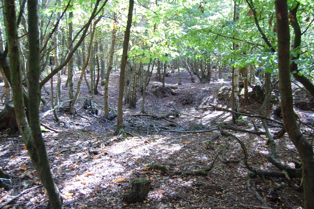
Image: © Trevor Harris Taken: 2 Oct 2011
Though hard to make out in the photo, this northern part of Barrow Wood (and the northern section of Parsons Spring across the Blackmore Road) is pitted with scores of medieval clay pits. There was a substantial pottery operation here.
Images are licensed for reuse under creativecommons.org/licenses/by-sa/2.0
Image Location


Leaflet Map data © OpenStreetMap
Latitude
51.700254
Longitude
0.353835