Cottages, northwest end of Rookery Lane
Introduction
The photograph on this page of Cottages, northwest end of Rookery Lane by Robin Stott as part of the Geograph project.
The Geograph project started in 2005 with the aim of publishing, organising and preserving representative images for every square kilometre of Great Britain, Ireland and the Isle of Man.

There are currently over 7.5m images from over 14,400 individuals and you can help contribute to the project by visiting https://www.geograph.org.uk
Cottages, northwest end of Rookery Lane
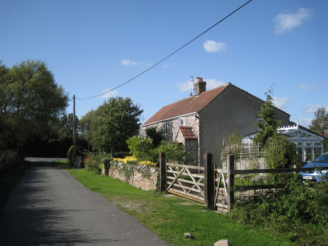
Image: © Robin Stott Taken: 13 Sep 2011
Near the junction with Pilning Street. A conservatory must add a sizeable area to the living space of these small semi-detached cottages.
Images are licensed for reuse under creativecommons.org/licenses/by-sa/2.0
Image Location
Latitude
51.561872
Longitude
-2.621125