Kitty Hawk Drive, Newport, viewed from the south
Introduction
The photograph on this page of Kitty Hawk Drive, Newport, viewed from the south by Jaggery as part of the Geograph project.
The Geograph project started in 2005 with the aim of publishing, organising and preserving representative images for every square kilometre of Great Britain, Ireland and the Isle of Man.

There are currently over 7.5m images from over 14,400 individuals and you can help contribute to the project by visiting https://www.geograph.org.uk
Kitty Hawk Drive, Newport, viewed from the south
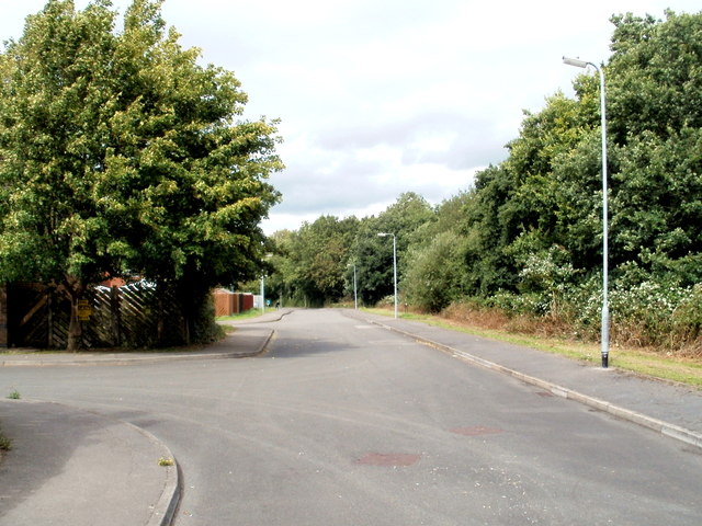
Image: © Jaggery Taken: 10 Aug 2011
Kitty Hawk Drive is the connecting road for several residential streets named after pioneers of aviation. This view is looking in the direction of Somerton Road. The trees on the right are at the edge of a single-track industrial railway line.
Images are licensed for reuse under creativecommons.org/licenses/by-sa/2.0
Image Location
Latitude
51.578822
Longitude
-2.961071