Gosport Lane, Outlane, Stainland
Introduction
The photograph on this page of Gosport Lane, Outlane, Stainland by Humphrey Bolton as part of the Geograph project.
The Geograph project started in 2005 with the aim of publishing, organising and preserving representative images for every square kilometre of Great Britain, Ireland and the Isle of Man.

There are currently over 7.5m images from over 14,400 individuals and you can help contribute to the project by visiting https://www.geograph.org.uk
Gosport Lane, Outlane, Stainland
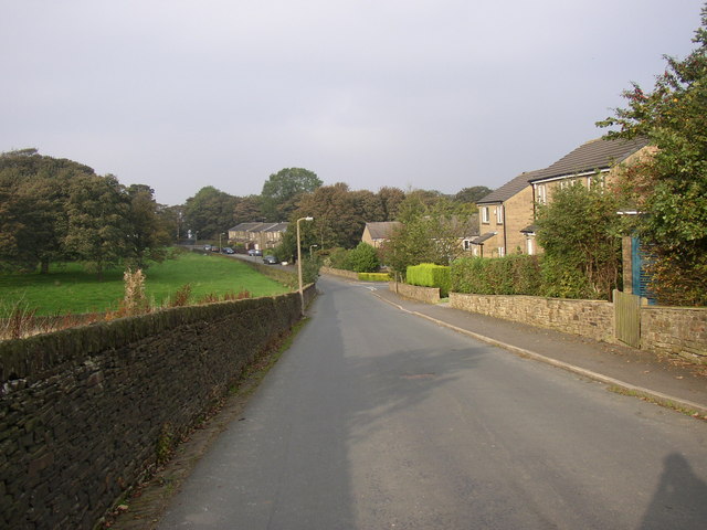
Image: © Humphrey Bolton Taken: 16 Oct 2006
Gosport Lane is the boundary between the built-up area of Outlane and the countryside. The houses are on the site of Gosport Mills.
Images are licensed for reuse under creativecommons.org/licenses/by-sa/2.0
Image Location
Latitude
53.655735
Longitude
-1.88043