The Rec
Introduction
The photograph on this page of The Rec by Alan Simkins as part of the Geograph project.
The Geograph project started in 2005 with the aim of publishing, organising and preserving representative images for every square kilometre of Great Britain, Ireland and the Isle of Man.

There are currently over 7.5m images from over 14,400 individuals and you can help contribute to the project by visiting https://www.geograph.org.uk
The Rec
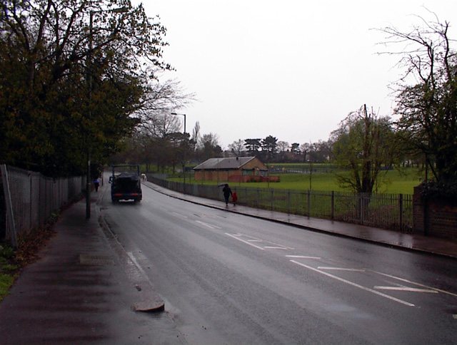
Image: © Alan Simkins Taken: 8 Apr 2005
Looking North from the top centre of the grid square to the Rec - the local recreation ground on three levels. Football and tennis up top, kid's swings in the middle, and cricket down below. My bedroom overlooks the park!
Images are licensed for reuse under creativecommons.org/licenses/by-sa/2.0
Image Location
Latitude
51.616667
Longitude
-0.145389