Cottage on the west side of the A24
Introduction
The photograph on this page of Cottage on the west side of the A24 by Dave Spicer as part of the Geograph project.
The Geograph project started in 2005 with the aim of publishing, organising and preserving representative images for every square kilometre of Great Britain, Ireland and the Isle of Man.

There are currently over 7.5m images from over 14,400 individuals and you can help contribute to the project by visiting https://www.geograph.org.uk
Cottage on the west side of the A24
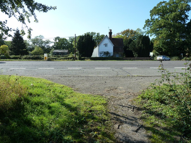
Image: © Dave Spicer Taken: 27 Sep 2011
To the right of the camera are two cottages named Wharf Cottages as there was a canal wharf nearby. The Baybridge Canal was part of the Adur navigation but at only 3 1/2 miles and the arrival of the Shoreham to Horsham rail line brought an early closure in 1875.
Images are licensed for reuse under creativecommons.org/licenses/by-sa/2.0
Image Location
Latitude
50.97756
Longitude
-0.343621