Albion Channel, Surrey Quays (2)
Introduction
The photograph on this page of Albion Channel, Surrey Quays (2) by David Anstiss as part of the Geograph project.
The Geograph project started in 2005 with the aim of publishing, organising and preserving representative images for every square kilometre of Great Britain, Ireland and the Isle of Man.

There are currently over 7.5m images from over 14,400 individuals and you can help contribute to the project by visiting https://www.geograph.org.uk
Albion Channel, Surrey Quays (2)
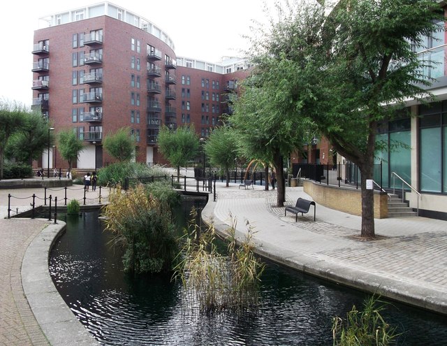
Image: © David Anstiss Taken: 25 Sep 2011
As seen from near to Surrey Quays Road. This was a canal linking Surrey Water (near the River Thames) with Canada Dock (now Canada Water) and Greenland Dock. Now remains as a water feature and walkway within the redeveloped area.
Images are licensed for reuse under creativecommons.org/licenses/by-sa/2.0
Image Location
Latitude
51.49845
Longitude
-0.047755