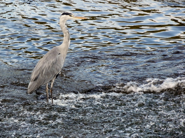
Grey Heron at Northenden Weir
Introduction
The photograph on this page of Grey Heron at Northenden Weir by David Dixon as part of the Geograph project.
The Geograph project started in 2005 with the aim of publishing, organising and preserving representative images for every square kilometre of Great Britain, Ireland and the Isle of Man.
There are currently over 7.5m images from over 14,400 individuals and you can help contribute to the project by visiting https://www.geograph.org.uk

Image: © David Dixon Taken: 27 Sep 2011
A grey heron standing near the bottom of the weir at Northenden. (It can be seen in Image]). During the nineteenth century, the increase in industry along the banks of the Mersey caused it to become one of the most polluted rivers in Europe and wildlife was virtually wiped out. It is only relatively recently that fish have been once again been able to survive in the river. The heron is one symbol of the improvement to the river's water quality since the 1980s. Of course it could also symbolise the decline of the local industry. http://www.geograph.org.uk/search.php?i=25467717&displayclass=bigger for more photos of this heron

