Upton from the Ham
Introduction
The photograph on this page of Upton from the Ham by Bob Embleton as part of the Geograph project.
The Geograph project started in 2005 with the aim of publishing, organising and preserving representative images for every square kilometre of Great Britain, Ireland and the Isle of Man.

There are currently over 7.5m images from over 14,400 individuals and you can help contribute to the project by visiting https://www.geograph.org.uk
Upton from the Ham
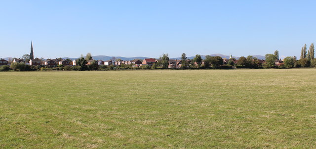
Image: © Bob Embleton Taken: 28 Sep 2011
Looking over the River Severn flood plain known as Upton Ham towards the town. The spire of the Victorian church of St Peter and St Paul is on the left. Towards the right is the old medieval church tower with its 18th century octagonal wooden lantern and copper covered cupola known as the "Pepperpot". In the distance the Malvern Hills range can be seen from British Camp on the left to North hill on the right.
Images are licensed for reuse under creativecommons.org/licenses/by-sa/2.0
Image Location
Latitude
52.061335
Longitude
-2.213056