Blackfield, recreation ground
Introduction
The photograph on this page of Blackfield, recreation ground by Mike Faherty as part of the Geograph project.
The Geograph project started in 2005 with the aim of publishing, organising and preserving representative images for every square kilometre of Great Britain, Ireland and the Isle of Man.

There are currently over 7.5m images from over 14,400 individuals and you can help contribute to the project by visiting https://www.geograph.org.uk
Blackfield, recreation ground
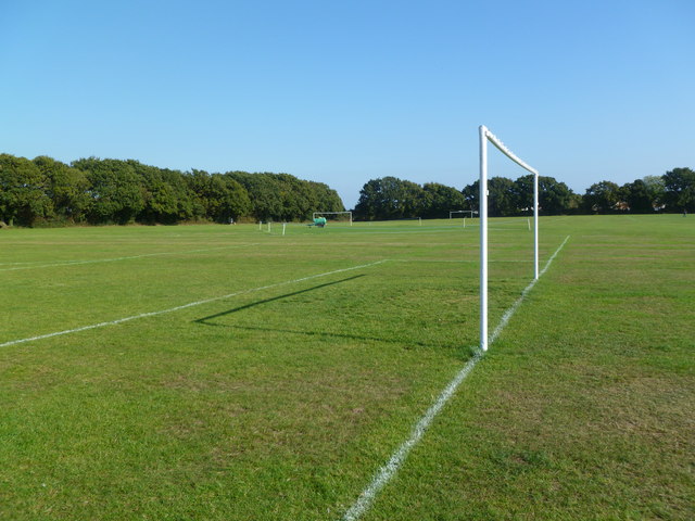
Image: © Mike Faherty Taken: 27 Sep 2011
Off Thornbury Avenue; formally, Queen Elizabeth the Second Recreation Ground. The ground contains sports pitches, play area, and scout and cadet huts; maintained by Fawley Parish Council. http://www.fawleyparishcouncil.org.uk/facilities/QE2.html
Images are licensed for reuse under creativecommons.org/licenses/by-sa/2.0
Image Location
Latitude
50.814126
Longitude
-1.367739