Converted Farm Buildings
Introduction
The photograph on this page of Converted Farm Buildings by Tony Atkin as part of the Geograph project.
The Geograph project started in 2005 with the aim of publishing, organising and preserving representative images for every square kilometre of Great Britain, Ireland and the Isle of Man.

There are currently over 7.5m images from over 14,400 individuals and you can help contribute to the project by visiting https://www.geograph.org.uk
Converted Farm Buildings
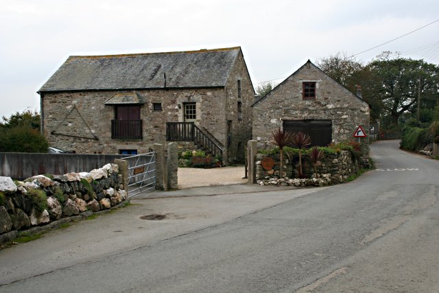
Image: © Tony Atkin Taken: 14 Oct 2006
This is in the hamlet of Maders. According to the wooden sign on the wall, these are The Granary and The Barn, presumably modern names which reflect their original use.
Images are licensed for reuse under creativecommons.org/licenses/by-sa/2.0
Image Location
Latitude
50.518926
Longitude
-4.335926