Church Brow Wesleyan Methodist Walton-Le-Dale
Introduction
The photograph on this page of Church Brow Wesleyan Methodist Walton-Le-Dale by Steve Houldsworth as part of the Geograph project.
The Geograph project started in 2005 with the aim of publishing, organising and preserving representative images for every square kilometre of Great Britain, Ireland and the Isle of Man.

There are currently over 7.5m images from over 14,400 individuals and you can help contribute to the project by visiting https://www.geograph.org.uk
Church Brow Wesleyan Methodist Walton-Le-Dale
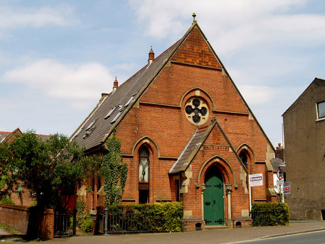
Image: © Steve Houldsworth Taken: 27 Sep 2011
Located at the junction of Church Brow and Kings Croft the building was originally a Methodist Church, founded before 1868 it closed before 1990 and has since been converted to a house.
Images are licensed for reuse under creativecommons.org/licenses/by-sa/2.0
Image Location
Latitude
53.748197
Longitude
-2.671573