Pond at The Height
Introduction
The photograph on this page of Pond at The Height by philandju as part of the Geograph project.
The Geograph project started in 2005 with the aim of publishing, organising and preserving representative images for every square kilometre of Great Britain, Ireland and the Isle of Man.

There are currently over 7.5m images from over 14,400 individuals and you can help contribute to the project by visiting https://www.geograph.org.uk
Pond at The Height
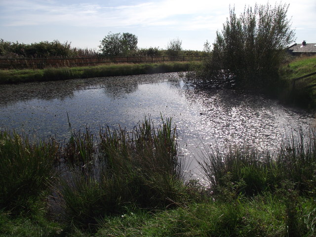
Image: © philandju Taken: 27 Sep 2011
Originally a farmhouse and outbuildings, The Height is now converted into half a dozen substantial residences. "No Fishing" notices are posted at the pond's edge.
Images are licensed for reuse under creativecommons.org/licenses/by-sa/2.0
Image Location
Latitude
53.604807
Longitude
-2.367194