Green Chain Walk on Brockley Way
Introduction
The photograph on this page of Green Chain Walk on Brockley Way by David Anstiss as part of the Geograph project.
The Geograph project started in 2005 with the aim of publishing, organising and preserving representative images for every square kilometre of Great Britain, Ireland and the Isle of Man.

There are currently over 7.5m images from over 14,400 individuals and you can help contribute to the project by visiting https://www.geograph.org.uk
Green Chain Walk on Brockley Way
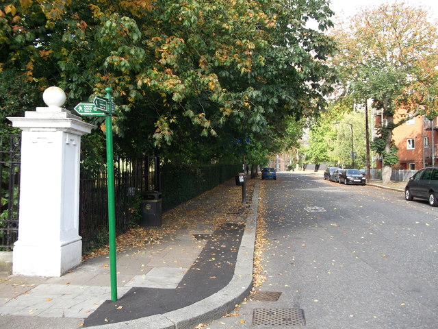
Image: © David Anstiss Taken: 25 Sep 2011
The long distance path leads left into Camberwell New Cemetery (and onwards to Honor Oak), it also heads straight along Brockley Way towards Nunhead Cemetery (and onwards to Nunhead Railway Station).
Images are licensed for reuse under creativecommons.org/licenses/by-sa/2.0
Image Location
Latitude
51.455289
Longitude
-0.042544