Canterbury Road (A260), Swingfield Minnis
Introduction
The photograph on this page of Canterbury Road (A260), Swingfield Minnis by John Baker as part of the Geograph project.
The Geograph project started in 2005 with the aim of publishing, organising and preserving representative images for every square kilometre of Great Britain, Ireland and the Isle of Man.

There are currently over 7.5m images from over 14,400 individuals and you can help contribute to the project by visiting https://www.geograph.org.uk
Canterbury Road (A260), Swingfield Minnis
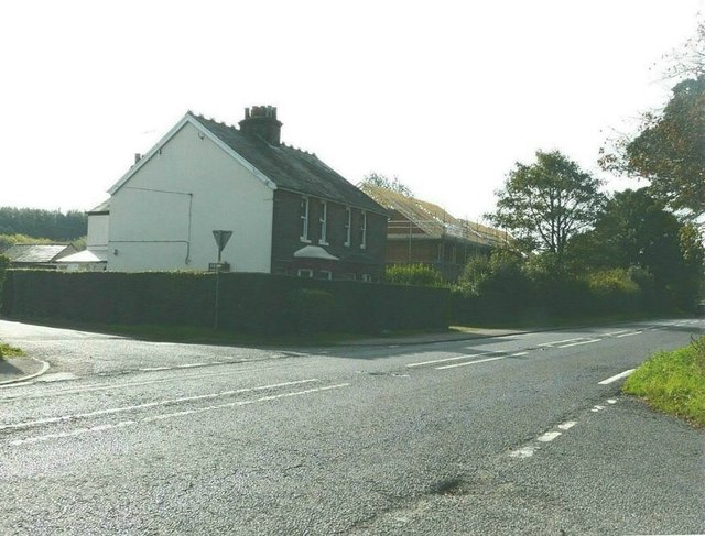
Image: © John Baker Taken: 25 Sep 2011
Two months after taking Image the construction of the buildings on this site has reached the installation of the roof rafters
Images are licensed for reuse under creativecommons.org/licenses/by-sa/2.0
Image Location
Latitude
51.146507
Longitude
1.166491