Lower Farm with sheep
Introduction
The photograph on this page of Lower Farm with sheep by Rob Farrow as part of the Geograph project.
The Geograph project started in 2005 with the aim of publishing, organising and preserving representative images for every square kilometre of Great Britain, Ireland and the Isle of Man.

There are currently over 7.5m images from over 14,400 individuals and you can help contribute to the project by visiting https://www.geograph.org.uk
Lower Farm with sheep
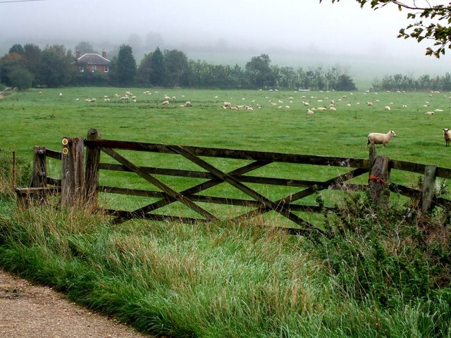
Image: © Rob Farrow Taken: 13 Oct 2006
The house in the background is Lower Farm off Carters Lane near Pitchcott. There is a stile on the left leading into the field of sheep which is on a Long Distance Path, but working out precisely which of the numerous LDPs around these parts is a little tricky. It may be on the Midshires Way, or possibly Swan's Way or indeed on both. It may be part of the Aylesbury Ring then again it may not. The most likely candidate however seems to be Matthew's Way - which I must admit I've not heard of before !
Images are licensed for reuse under creativecommons.org/licenses/by-sa/2.0
Image Location
Latitude
51.87441
Longitude
-0.889754