Linktown
Introduction
The photograph on this page of Linktown by Paul McIlroy as part of the Geograph project.
The Geograph project started in 2005 with the aim of publishing, organising and preserving representative images for every square kilometre of Great Britain, Ireland and the Isle of Man.

There are currently over 7.5m images from over 14,400 individuals and you can help contribute to the project by visiting https://www.geograph.org.uk
Linktown
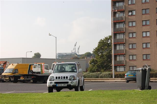
Image: © Paul McIlroy Taken: 16 Oct 2006
Car park at the south end of Kirkcaldy Esplanade, the floodlights of Stark's Park, home of Raith Rovers FC, can be seen in the background.
Images are licensed for reuse under creativecommons.org/licenses/by-sa/2.0
Image Location
Latitude
56.100897
Longitude
-3.162253