Flint, brick and slate
Introduction
The photograph on this page of Flint, brick and slate by M H Evans as part of the Geograph project.
The Geograph project started in 2005 with the aim of publishing, organising and preserving representative images for every square kilometre of Great Britain, Ireland and the Isle of Man.

There are currently over 7.5m images from over 14,400 individuals and you can help contribute to the project by visiting https://www.geograph.org.uk
Flint, brick and slate
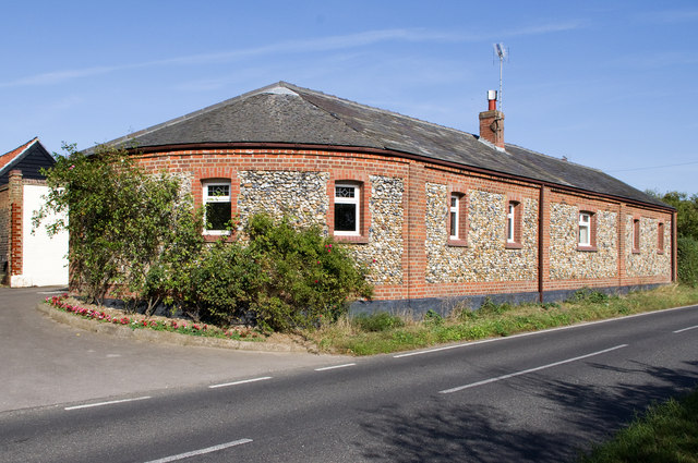
Image: © M H Evans Taken: 23 Sep 2011
A building with an unusual rounded end. Flint and brick construction, with a slate roof, typical of South Cambridgeshire. Horseheath Road, Eastern edge of Linton village. For detail of wall see Image
Images are licensed for reuse under creativecommons.org/licenses/by-sa/2.0
Image Location
Latitude
52.098553
Longitude
0.293861