Red Lane, Breightmet, Bolton
Introduction
The photograph on this page of Red Lane, Breightmet, Bolton by philandju as part of the Geograph project.
The Geograph project started in 2005 with the aim of publishing, organising and preserving representative images for every square kilometre of Great Britain, Ireland and the Isle of Man.

There are currently over 7.5m images from over 14,400 individuals and you can help contribute to the project by visiting https://www.geograph.org.uk
Red Lane, Breightmet, Bolton
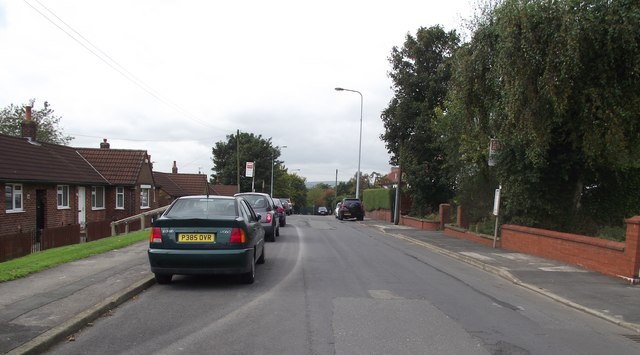
Image: © philandju Taken: 23 Sep 2011
On the right, substantial inter-wars semi-detached houses, and on the left, old folks' council bungalows, built in the 1960's.
Images are licensed for reuse under creativecommons.org/licenses/by-sa/2.0
Image Location
Latitude
53.586863
Longitude
-2.385317