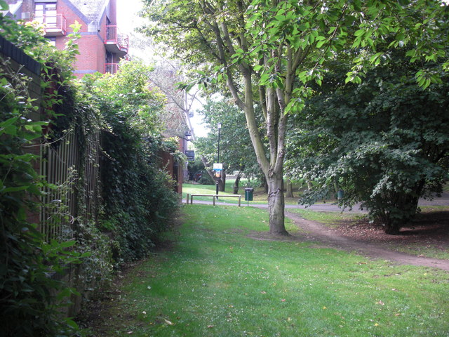
Shamrock public house (site of)
Introduction
The photograph on this page of Shamrock public house (site of) by Chris Lordan as part of the Geograph project.
The Geograph project started in 2005 with the aim of publishing, organising and preserving representative images for every square kilometre of Great Britain, Ireland and the Isle of Man.
There are currently over 7.5m images from over 14,400 individuals and you can help contribute to the project by visiting https://www.geograph.org.uk

Image: © Chris Lordan Taken: 24 Jul 2011
Site of that was somewhere in Clarks Orchard, Rotherhithe, SE16. May have been a beer house as it was very short lived i.e. 1868 to mid 1870's. Clarks Orchard was originally a bit of a dirty looking place that ran from Rotherhithe Street south to St Marychurch Street, a distance of about 300 yards. I first saw it in 1961 when it was only 20 yards long and the width of a small car. It can be seen in the image of the Europa pub. Image looking south and what a contrast.

