The Fire Research Station (3)
Introduction
The photograph on this page of The Fire Research Station (3) by John Webb as part of the Geograph project.
The Geograph project started in 2005 with the aim of publishing, organising and preserving representative images for every square kilometre of Great Britain, Ireland and the Isle of Man.

There are currently over 7.5m images from over 14,400 individuals and you can help contribute to the project by visiting https://www.geograph.org.uk
The Fire Research Station (3)
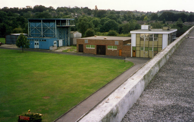
Image: © John Webb Taken: Unknown
Buildings in the SW part of the site; at the time of the photo all used by the Loss Prevention Certification Board. From left to right a store shed, Building 20 (the blue one) with an internal moveable ceiling, Building 21 used for fire detector testing, and Building 14 used for sprinkler tests and other work.
Images are licensed for reuse under creativecommons.org/licenses/by-sa/2.0
Image Location
Latitude
51.64887
Longitude
-0.275904