Grove Park Library
Introduction
The photograph on this page of Grove Park Library by David Anstiss as part of the Geograph project.
The Geograph project started in 2005 with the aim of publishing, organising and preserving representative images for every square kilometre of Great Britain, Ireland and the Isle of Man.

There are currently over 7.5m images from over 14,400 individuals and you can help contribute to the project by visiting https://www.geograph.org.uk
Grove Park Library
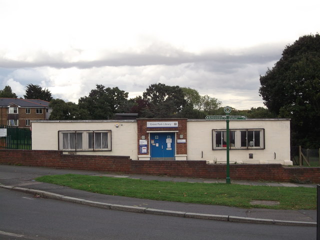
Image: © David Anstiss Taken: 18 Sep 2011
On the junction of Burnt Ash Hill and Marvels Lane. In front is a footpath marker for the Green Chain Walk (long distance path), left to Grove Park Nature Reserve and right to College Meadow.
Images are licensed for reuse under creativecommons.org/licenses/by-sa/2.0
Image Location
Latitude
51.435826
Longitude
0.02324