Commons Brae, Belfast (2)
Introduction
The photograph on this page of Commons Brae, Belfast (2) by Albert Bridge as part of the Geograph project.
The Geograph project started in 2005 with the aim of publishing, organising and preserving representative images for every square kilometre of Great Britain, Ireland and the Isle of Man.

There are currently over 7.5m images from over 14,400 individuals and you can help contribute to the project by visiting https://www.geograph.org.uk
Commons Brae, Belfast (2)
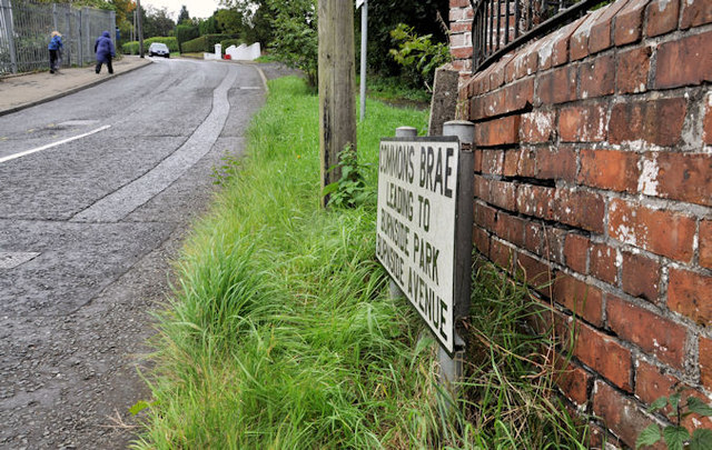
Image: © Albert Bridge Taken: 21 Sep 2011
The name sign at the Saintfield Road end of Commons Brae Image The street has a postal address of Belfast BT8 but lies within the borough of Castlereagh and is, therefore, outside this shared description http://www.geograph.org.uk/snippet/4658
Images are licensed for reuse under creativecommons.org/licenses/by-sa/2.0
Image Location
Latitude
54.554973
Longitude
-5.907485