Millhouse Road
Introduction
The photograph on this page of Millhouse Road by Thomas Nugent as part of the Geograph project.
The Geograph project started in 2005 with the aim of publishing, organising and preserving representative images for every square kilometre of Great Britain, Ireland and the Isle of Man.

There are currently over 7.5m images from over 14,400 individuals and you can help contribute to the project by visiting https://www.geograph.org.uk
Millhouse Road
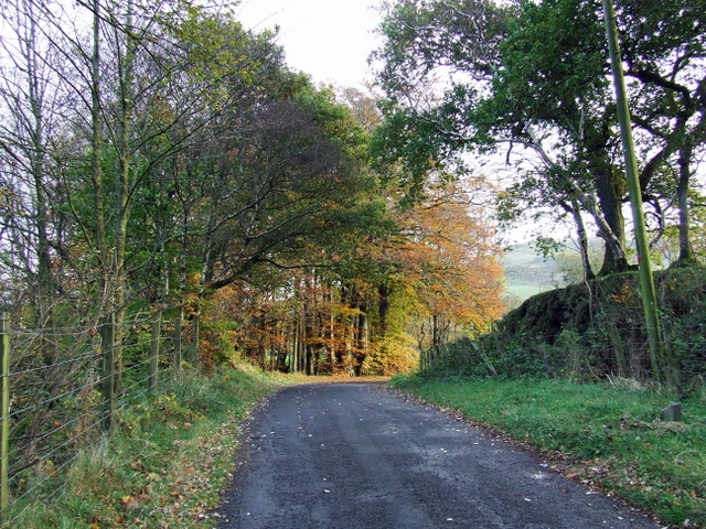
Image: © Thomas Nugent Taken: 7 Nov 2007
Leads to Shielhill Glen and Loch Thom from Inverkip village. The Glasgow to Wemyss Bay railway line runs in a cutting just beyond the fence on the left.
Images are licensed for reuse under creativecommons.org/licenses/by-sa/2.0
Image Location
Latitude
55.912239
Longitude
-4.852234