Westfield Avenue at its junction with Beighton Road
Introduction
The photograph on this page of Westfield Avenue at its junction with Beighton Road by Neil Theasby as part of the Geograph project.
The Geograph project started in 2005 with the aim of publishing, organising and preserving representative images for every square kilometre of Great Britain, Ireland and the Isle of Man.

There are currently over 7.5m images from over 14,400 individuals and you can help contribute to the project by visiting https://www.geograph.org.uk
Westfield Avenue at its junction with Beighton Road
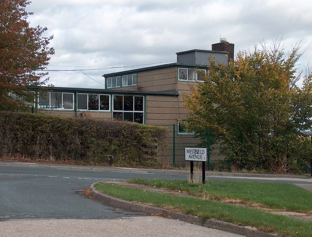
Image: © Neil Theasby Taken: 21 Sep 2011
The building on the other side of Beighton Road is Rainbow Forge Primary School - on the site of the former Carter Lodge Secondary School
Images are licensed for reuse under creativecommons.org/licenses/by-sa/2.0
Image Location
Latitude
53.344201
Longitude
-1.367761