East Fenton
Introduction
The photograph on this page of East Fenton by Richard Webb as part of the Geograph project.
The Geograph project started in 2005 with the aim of publishing, organising and preserving representative images for every square kilometre of Great Britain, Ireland and the Isle of Man.

There are currently over 7.5m images from over 14,400 individuals and you can help contribute to the project by visiting https://www.geograph.org.uk
East Fenton
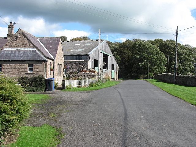
Image: © Richard Webb Taken: 17 Sep 2011
A minor road passes farm buildings. This is a dairy farm, judging by some of the calves housed behind the big shed.
Images are licensed for reuse under creativecommons.org/licenses/by-sa/2.0
Image Location
Latitude
55.598263
Longitude
-2.048057