Longhope: looking over the harbour
Introduction
The photograph on this page of Longhope: looking over the harbour by Chris Downer as part of the Geograph project.
The Geograph project started in 2005 with the aim of publishing, organising and preserving representative images for every square kilometre of Great Britain, Ireland and the Isle of Man.

There are currently over 7.5m images from over 14,400 individuals and you can help contribute to the project by visiting https://www.geograph.org.uk
Longhope: looking over the harbour
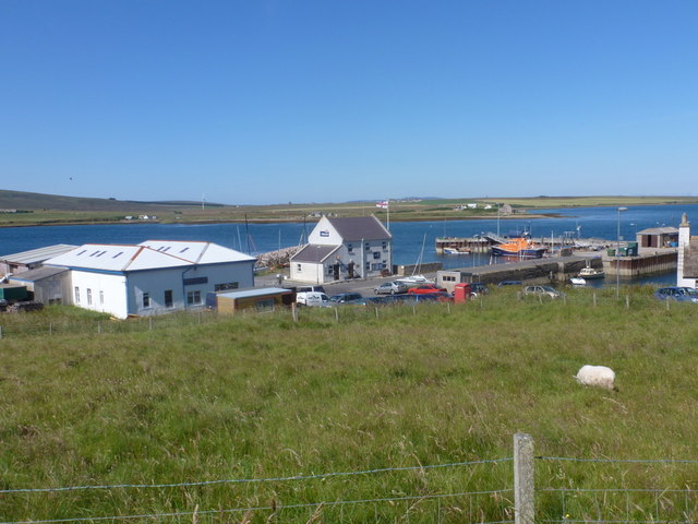
Image: © Chris Downer Taken: 27 Jul 2011
Looking from the main road across the harbour - with the lifeboat station, general stores/post office and telephone box.
Images are licensed for reuse under creativecommons.org/licenses/by-sa/2.0
Image Location


Leaflet Map data © OpenStreetMap
Latitude
58.800437
Longitude
-3.206727