The Gannel Footbridge and Estuary
Introduction
The photograph on this page of The Gannel Footbridge and Estuary by Maurice D Budden as part of the Geograph project.
The Geograph project started in 2005 with the aim of publishing, organising and preserving representative images for every square kilometre of Great Britain, Ireland and the Isle of Man.

There are currently over 7.5m images from over 14,400 individuals and you can help contribute to the project by visiting https://www.geograph.org.uk
The Gannel Footbridge and Estuary
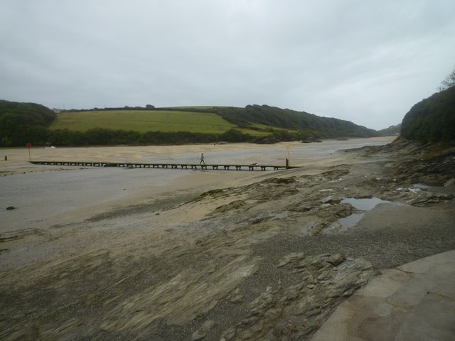
Image: © Maurice D Budden Taken: 6 Sep 2011
The footbridge carries the South West Coast Path across the estuary, but is only exposed for a period each side of low tide.
Images are licensed for reuse under creativecommons.org/licenses/by-sa/2.0
Image Location
Latitude
50.408315
Longitude
-5.100552