Mottingham Wood Trail Information Board
Introduction
The photograph on this page of Mottingham Wood Trail Information Board by David Anstiss as part of the Geograph project.
The Geograph project started in 2005 with the aim of publishing, organising and preserving representative images for every square kilometre of Great Britain, Ireland and the Isle of Man.

There are currently over 7.5m images from over 14,400 individuals and you can help contribute to the project by visiting https://www.geograph.org.uk
Mottingham Wood Trail Information Board
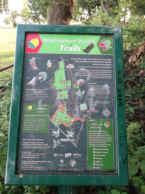
Image: © David Anstiss Taken: 18 Sep 2011
As seen in Image Shows the route of the Green Chain Walk (long distance path) through the wood and other details.
Images are licensed for reuse under creativecommons.org/licenses/by-sa/2.0
Image Location
Latitude
51.431114
Longitude
0.040871