Farm Buildings at Chapel Down Farm North
Introduction
The photograph on this page of Farm Buildings at Chapel Down Farm North by Toby as part of the Geograph project.
The Geograph project started in 2005 with the aim of publishing, organising and preserving representative images for every square kilometre of Great Britain, Ireland and the Isle of Man.

There are currently over 7.5m images from over 14,400 individuals and you can help contribute to the project by visiting https://www.geograph.org.uk
Farm Buildings at Chapel Down Farm North
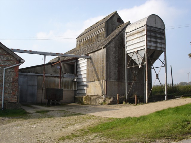
Image: © Toby Taken: 15 Oct 2006
Although this building is right next to Woodcutts Farm House, it is part of Chapel Down Farm North.
Images are licensed for reuse under creativecommons.org/licenses/by-sa/2.0
Image Location


Leaflet Map data © OpenStreetMap
Latitude
50.949728
Longitude
-2.038384