A lane with public access near Whimple
Introduction
The photograph on this page of A lane with public access near Whimple by David Smith as part of the Geograph project.
The Geograph project started in 2005 with the aim of publishing, organising and preserving representative images for every square kilometre of Great Britain, Ireland and the Isle of Man.

There are currently over 7.5m images from over 14,400 individuals and you can help contribute to the project by visiting https://www.geograph.org.uk
A lane with public access near Whimple
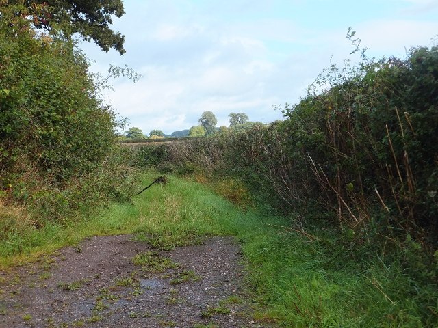
Image: © David Smith Taken: 18 Sep 2011
This green lane cuts off a corner of the minor road from Higher Cobden to Whimple, and passes through field lanes; there are no signs at its ends that there is public access, but it is marked as such on the OS map.
Images are licensed for reuse under creativecommons.org/licenses/by-sa/2.0
Image Location
Latitude
50.760527
Longitude
-3.366583