Marlborough Road, Grandpont
Introduction
The photograph on this page of Marlborough Road, Grandpont by Des Blenkinsopp as part of the Geograph project.
The Geograph project started in 2005 with the aim of publishing, organising and preserving representative images for every square kilometre of Great Britain, Ireland and the Isle of Man.

There are currently over 7.5m images from over 14,400 individuals and you can help contribute to the project by visiting https://www.geograph.org.uk
Marlborough Road, Grandpont
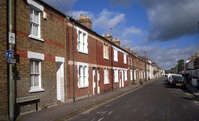
Image: © Des Blenkinsopp Taken: 14 Sep 2011
Grandpont is a community of terraced streets just south of the Thames from Oxford City centre. Originally in Berkshire, this area was incorporated into Oxford at the end of the 19th century. You can see the Geograph "near to" caption still says South Hinksey, the Old Berkshire parish in which these streets were built, rather than Oxford which is much nearer. It's unusual to get such a long view unobstructed by parking, but this is bike country. Nearly all the houses have cycle mooring rings let into the brickwork on the front wall.
Images are licensed for reuse under creativecommons.org/licenses/by-sa/2.0
Image Location
Latitude
51.742173
Longitude
-1.258416