Lane to the cemetery
Introduction
The photograph on this page of Lane to the cemetery by Bill Nicholls as part of the Geograph project.
The Geograph project started in 2005 with the aim of publishing, organising and preserving representative images for every square kilometre of Great Britain, Ireland and the Isle of Man.

There are currently over 7.5m images from over 14,400 individuals and you can help contribute to the project by visiting https://www.geograph.org.uk
Lane to the cemetery
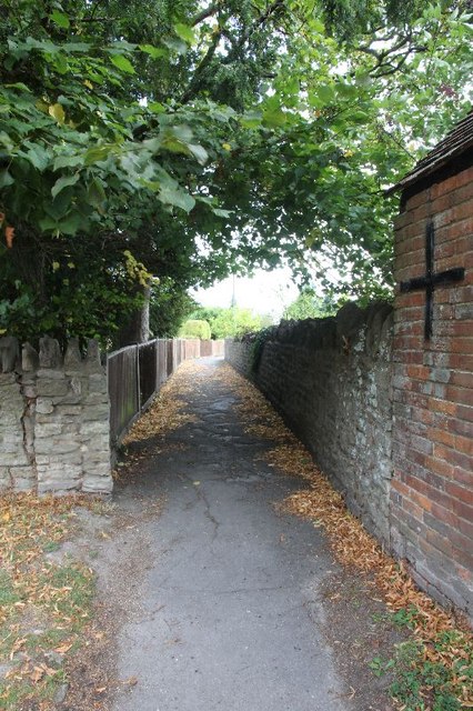
Image: © Bill Nicholls Taken: 7 Sep 2011
From what I was told the lane has no name but will lead to the cemetery in Harwell.
Images are licensed for reuse under creativecommons.org/licenses/by-sa/2.0
Image Location
Latitude
51.598052
Longitude
-1.289207